

eHealth Africa and BUK Strengthen GIS Capacity for Kano Health Sector
eHealth Africa, in partnership with the Centre for Dryland Agriculture (CDA) at Bayero University, Kano (BUK), has successfully completed the pilot phase of a geospatial curriculum aimed at equipping health professionals with skills in Geographic Information Systems
(GIS). The initiative, backed by the Kano State Ministry of Health and the State Primary Health Care Board, seeks to improve health service planning and delivery across the state.
The program, supported by the Umbrella Fund, targets frontline health workers, programme officers, and health planners, providing practical skills to collect, analyse, and use location-based data.
By integrating GIS into health programmes, officials aim to make more informed decisions about resource allocation, disease surveillance, immunisation planning, and emergency response.
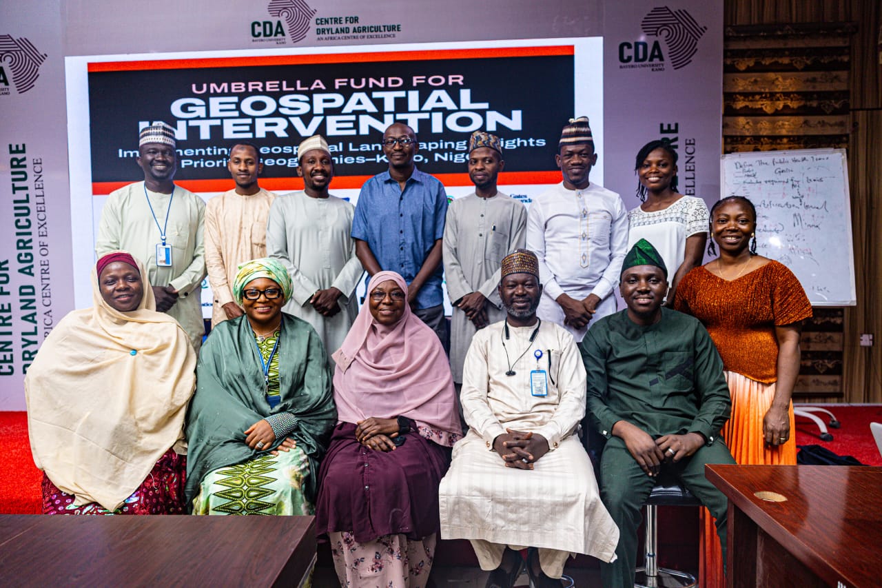
The four-day pilot, held from March 4–7, 2026, at BUK, trained 41 participants from various government institutions and partner organisations.
Training spanned three levels—Basic, Intermediate, and Advanced—and included map reading, GPS use, digital data collection, spatial analysis, and GIS applications in health service delivery.
Comfort Audu, Project Manager at eHealth Africa, said, “The initiative is timely, bringing together participants from multiple agencies, including NAFDAC, Veterinary Services, Digital Health, Environment, and Food and Drug regulatory bodies.
This reflects the growing importance of the One Health approach.”
Victor Idakwo, Associate Manager, GIS & Data Analytics at eHealth Africa, added, “Previously, geospatial training was conducted in silos. This partnership with an accredited university standardises learning and synchronises training across organisations, enhancing impact.”
For Bayero University, the collaboration represents more than just training. Professor Murtala Mohammed Badamasi, Deputy Director at CDA, stated,
“We have institutionalised this curriculum as part of our courses, creating stronger collaboration and practical solutions through the partnership between academia and NGOs.”
Participants praised the program for its impact. Bashir Abubakar Abdullahi, Data Analyst at the State Emergency Operations Centre, said, “Geospatial data now has much greater meaning to me.
It guides us in resource allocation and monitoring disease hotspots effectively.” Similarly, Kasim Ibrahim from NAFDAC noted the program improved his understanding of data collection beyond basic tools like Google Maps, enhancing field operations.


